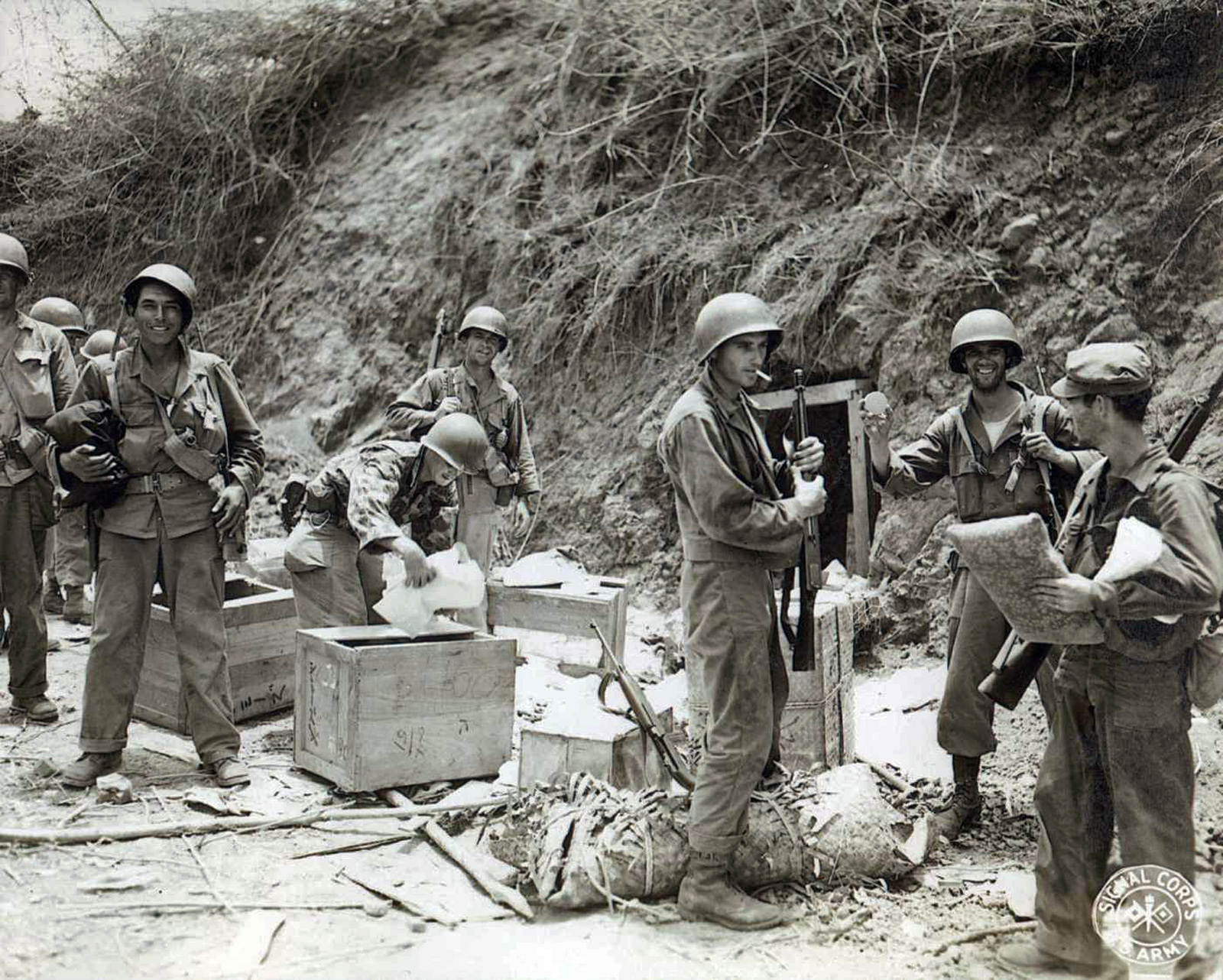
(Note: for a detailed introduction to the Americal Division Veterans Association’s 2015 trip to Cebu, along with links to other stories from the trip, read our introductory story Cebu 2015: The Ghosts of World War II, 70 Years Later. Learn more about the World War II battle for Cebu here.)
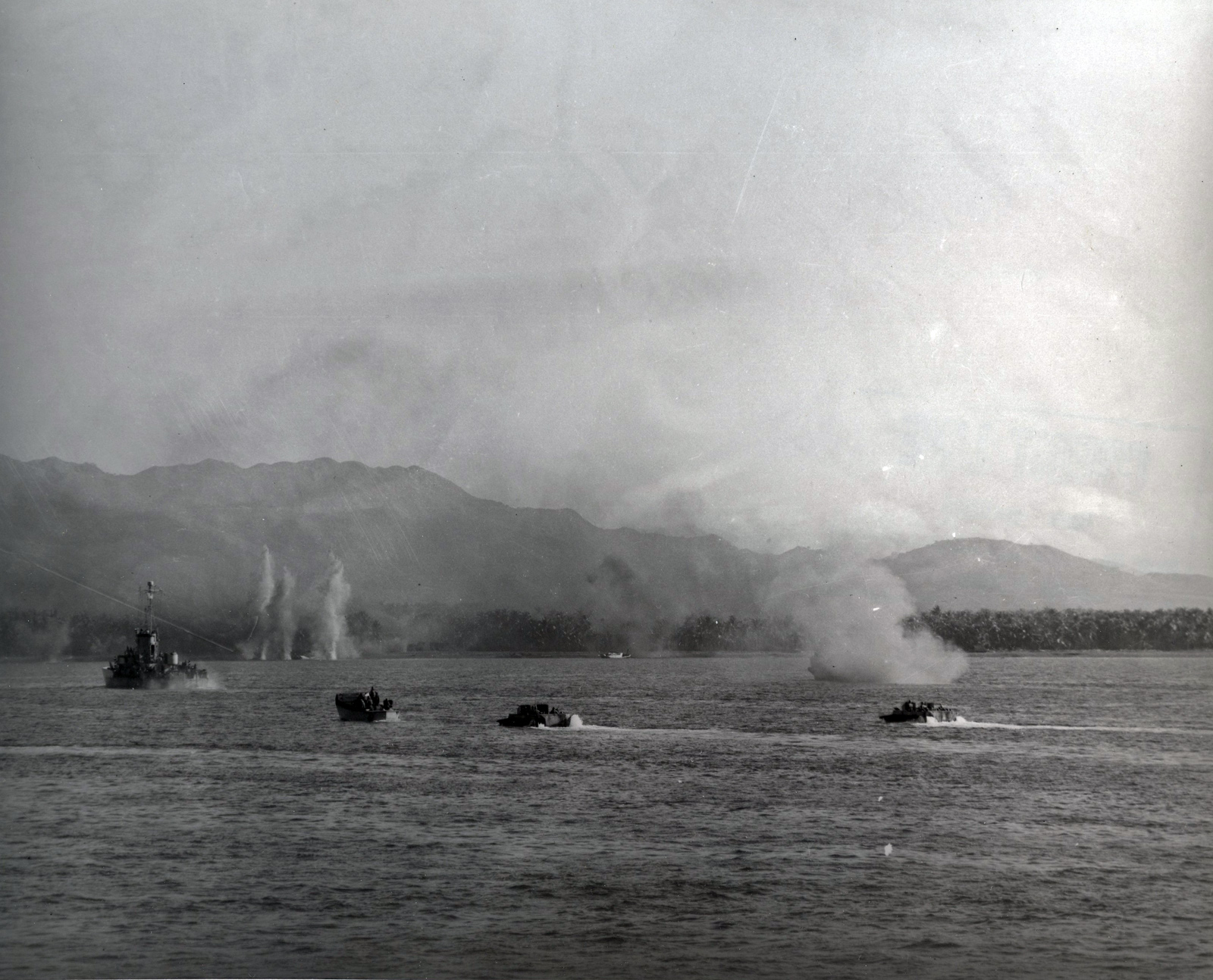
In the closing months of World War II, the U.S. Army’s Americal Division landed on the hostile shores of Cebu on 26 March 1945. In less than a month, they had captured Cebu City and its airfield, and broken the main Japanese line of defense on Babag Ridge. With the Japanese in retreat, the soldiers of the Americal began to disperse and pursue. The men of the 182nd Infantry Regiment were transported by truck across the rugged inland mountains, to the west coast, about 20 miles away. They operated out of Tabuelan and Asturias, towards the northern end of Cebu, and spent May and June hunting down Japanese outposts in the hilly interior of the island.
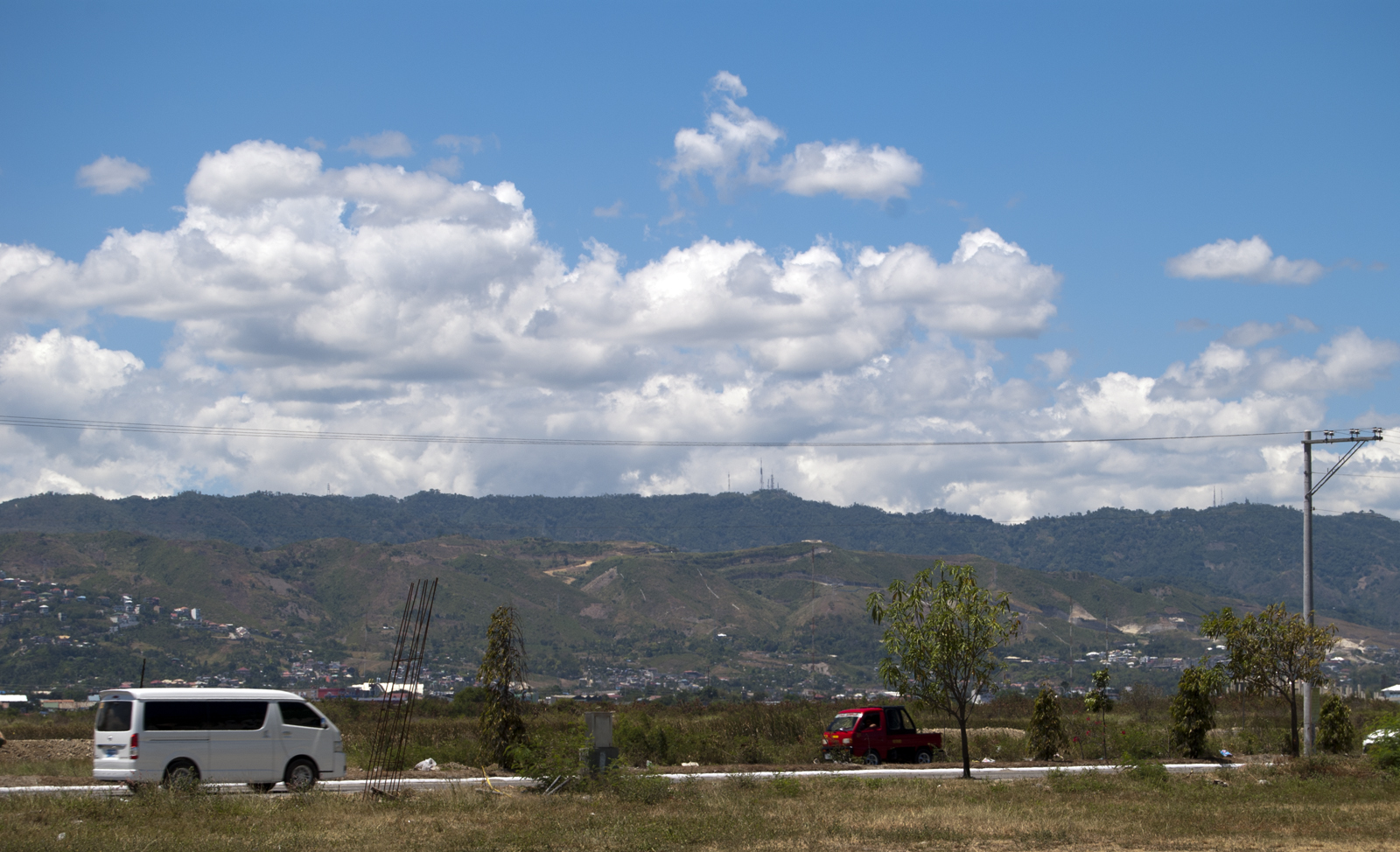
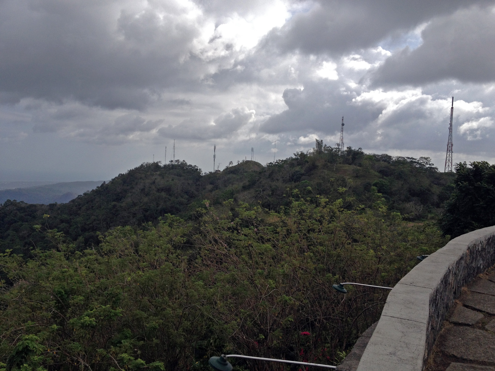
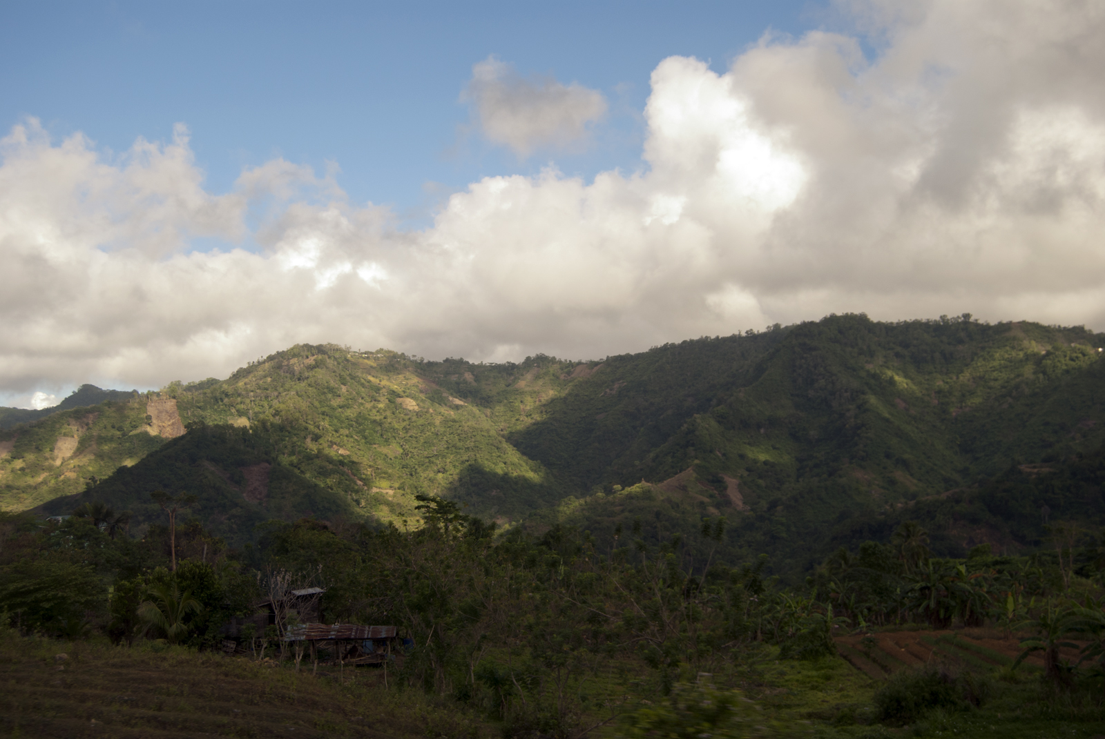
Our Americal Division Veterans Association group had the opportunity to visit the west coast of the island on the second day of our March 2015 tour. Loaded into our touring van, we navigated the twisting roads atop Babag Ridge. The scenery was impressive – in fact, we were all surprised at the rugged terrain of Cebu (see Photo #1). For over an hour we took in the beautiful mountains and dense jungle, winding up and down through the hills. I thought about the men of the Americal, who took a similar ride in Army trucks at the end of April 1945, unsure of what awaited them on the other side of the island.
We descended down from the mountains at the small town of Toledo on the west coast, and turned south. The road followed the coast, and off in the distance, across the Tanon Strait, we could see the nearby island of Negros. We could just make out the massive bulk of Kanloan Volcano (an active volcano), its 8,000 foot peak lost in the clouds.
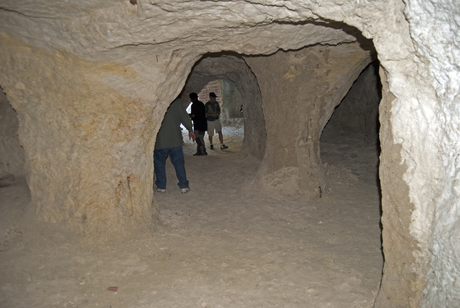
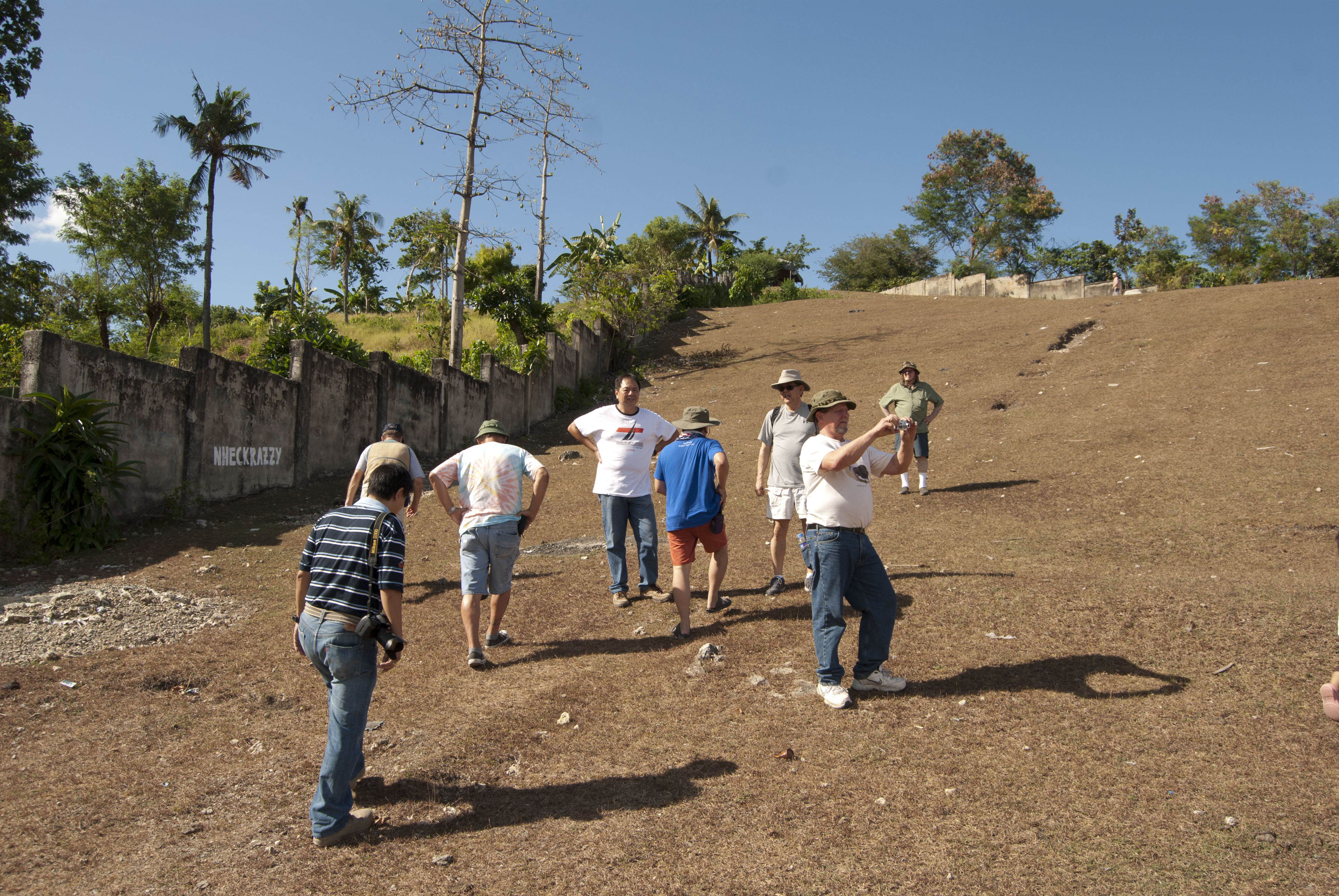
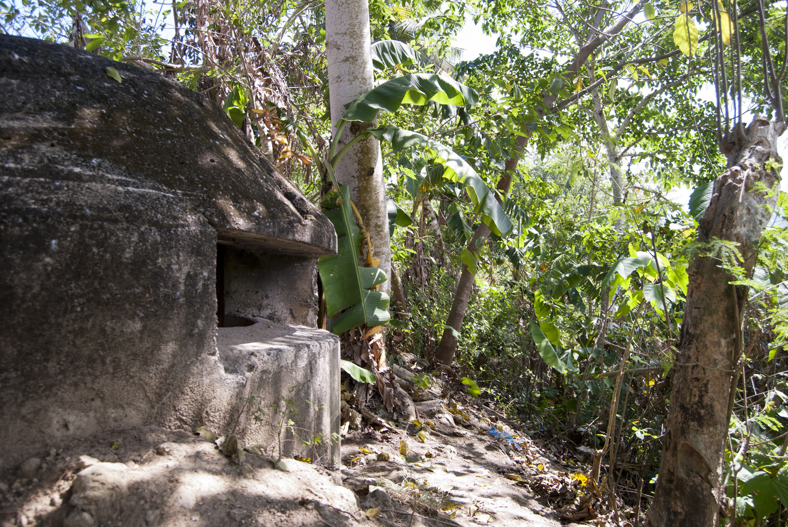
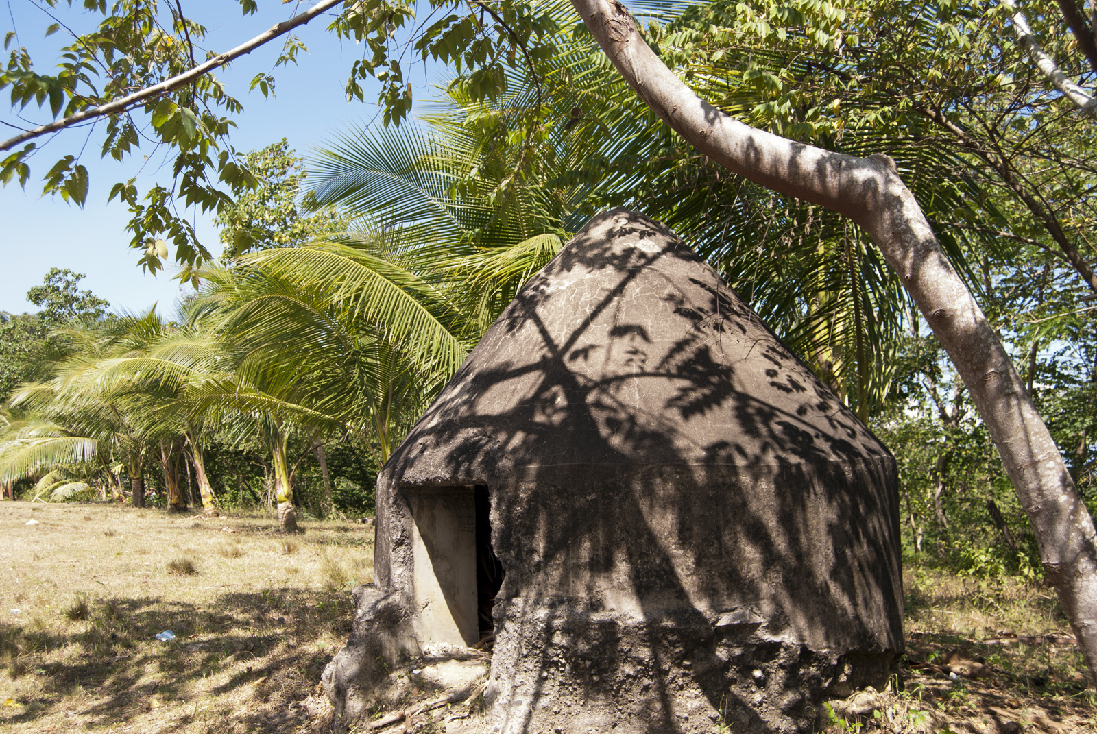
Our first stop was a hill just outside of Toledo, site of a fairly new city administration building. Behind this building, numerous pillboxes sit in a quiet field, with a good view of the coastline to the west, and the valleys and mountains to the east. It was on this spot that American and Filipino defenders fought their first battle against the Japanese in 1942, soon after the invaders landed. The invasion on the west coast was merely a diversionary feint, as the main thrust of the 1942 invasion happened at the same point where the Americal landed in 1945: Talisay Beach. The Japanese invasion of 1942 was too strong, and the defense of Cebu – as with the defense of the remainder of the Philippines – was a failure. Allied forces surrendered, but many of them melted into the hills to form the guerrilla army that would harass the Japanese for the next three years. The pillboxes outside Toledo are well preserved, but many of them were plucked out of the ground and moved to allow for the construction of the administrative center. Thus, in many cases the broken foundations sit above ground, giving the pillboxes a funny appearance (see Photo #2 and Photo #3).
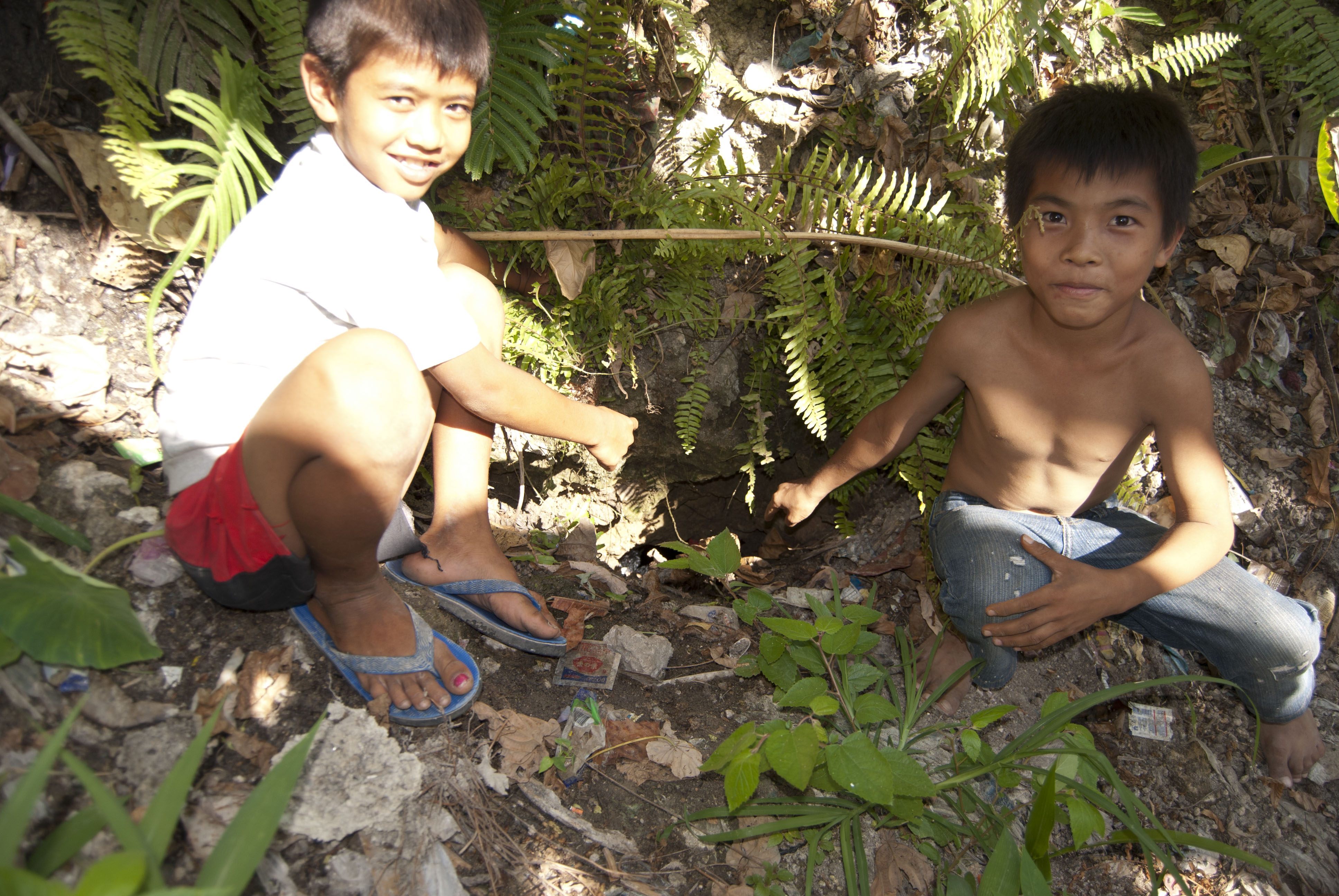
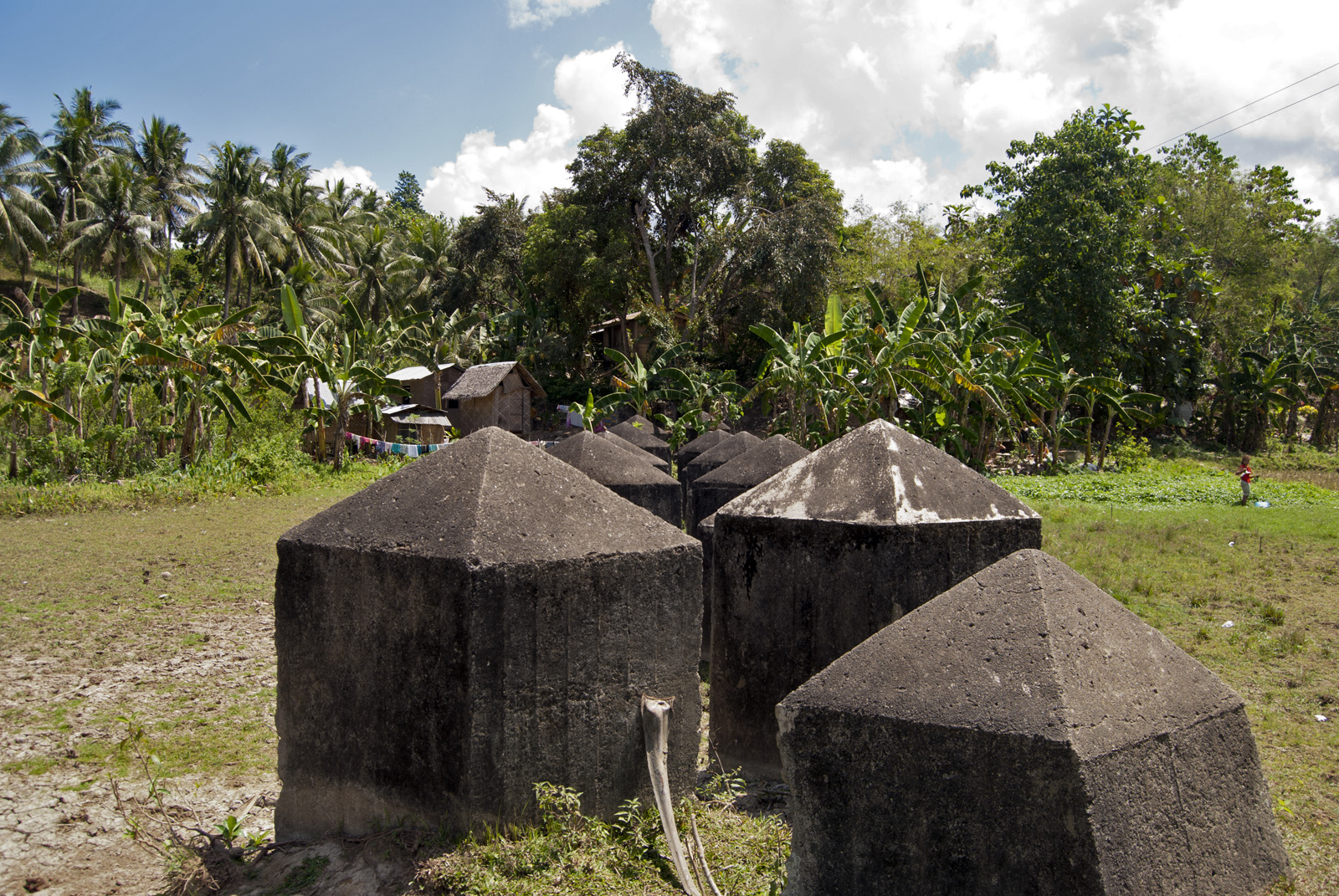
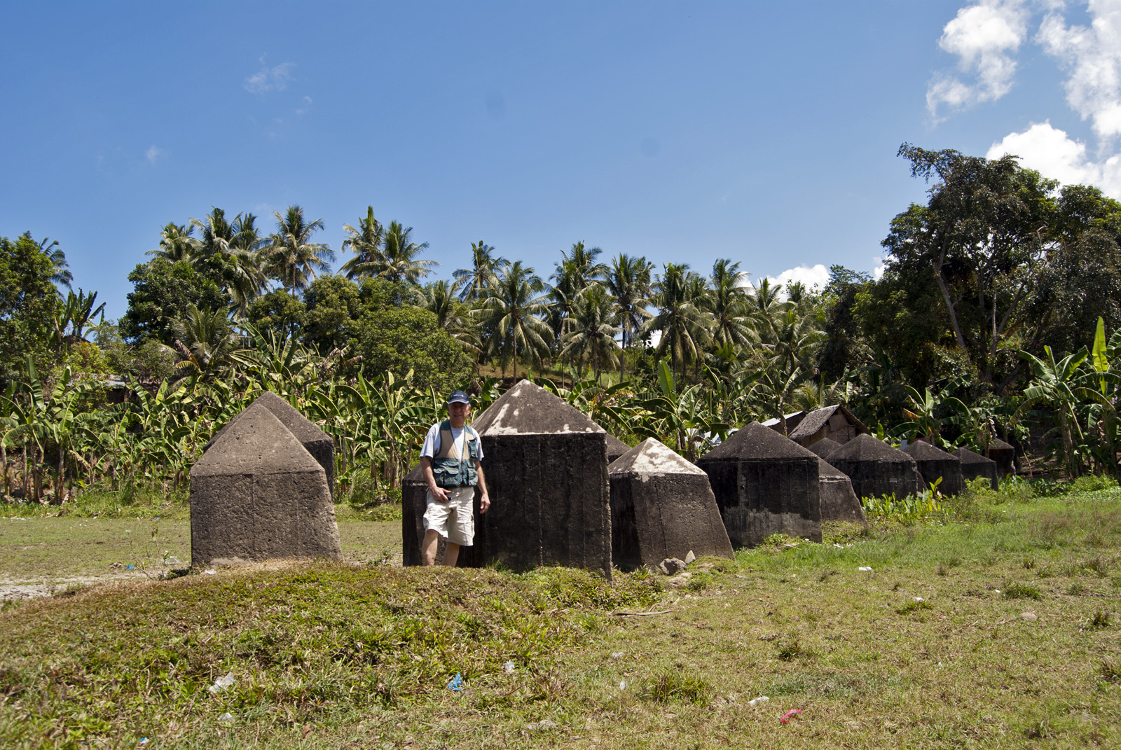
The sun was beating down on us, and after peeking into the various structures, we climbed back into the van to head to our next destination. This location was a bit challenging to track (even for our Cebuano driver and our gracious guide Dr. Jobers Bersales of the University of San Carlos) and we asked for directions from locals. Their directions often conflicted with each other, and we had to make several u-turns. Finally, a young man on a scooter offered to show us the way. We headed back inland, on a bumpy dirt road. We finally arrived at the site. In an area of jungle and rice paddies, with just a few houses and shacks nearby, stand a row of imposing concrete blocks (see Photo #4 and Photo #5). These tank barriers were built by American and Filipino forces as a defense against possible Japanese invasion. They ultimately proved useless. The long barrier runs perpendicular to the dusty dirt road. We were told that portions of it may soon be removed for development, as yet another tangible piece of World War II slips away to history.
We spent only half a day on the west coast of Cebu, and by early afternoon we were once again winding our way through the steep inland hills. Our tour of the west coast of Cebu gave us a sense of what World War II was like during the desperate first six months of action, with the Japanese marauding through the Pacific, a nearly unstoppable force.
Read the next piece in this series here: Cebu 2015, Part V: A New Monument to the Japanese Surrender