Skip to content

Tag: surrender

Japanese Surrender on Cebu: Exactly Where Was It?

  • Comparison of 1945 footage of the Japanese surrender on Cebu with background terrain taken in 2015. (Source: Internet Archive/film, Dave Colamaria/Photo).

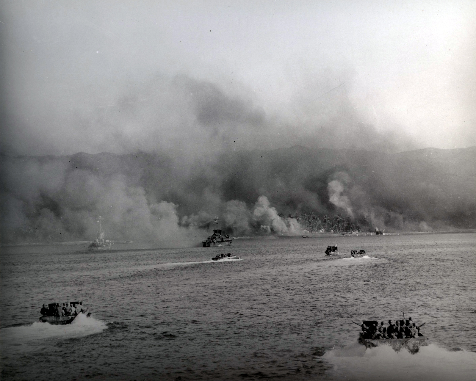
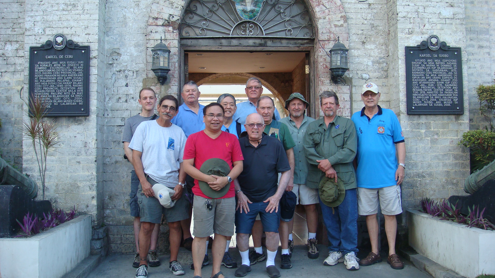
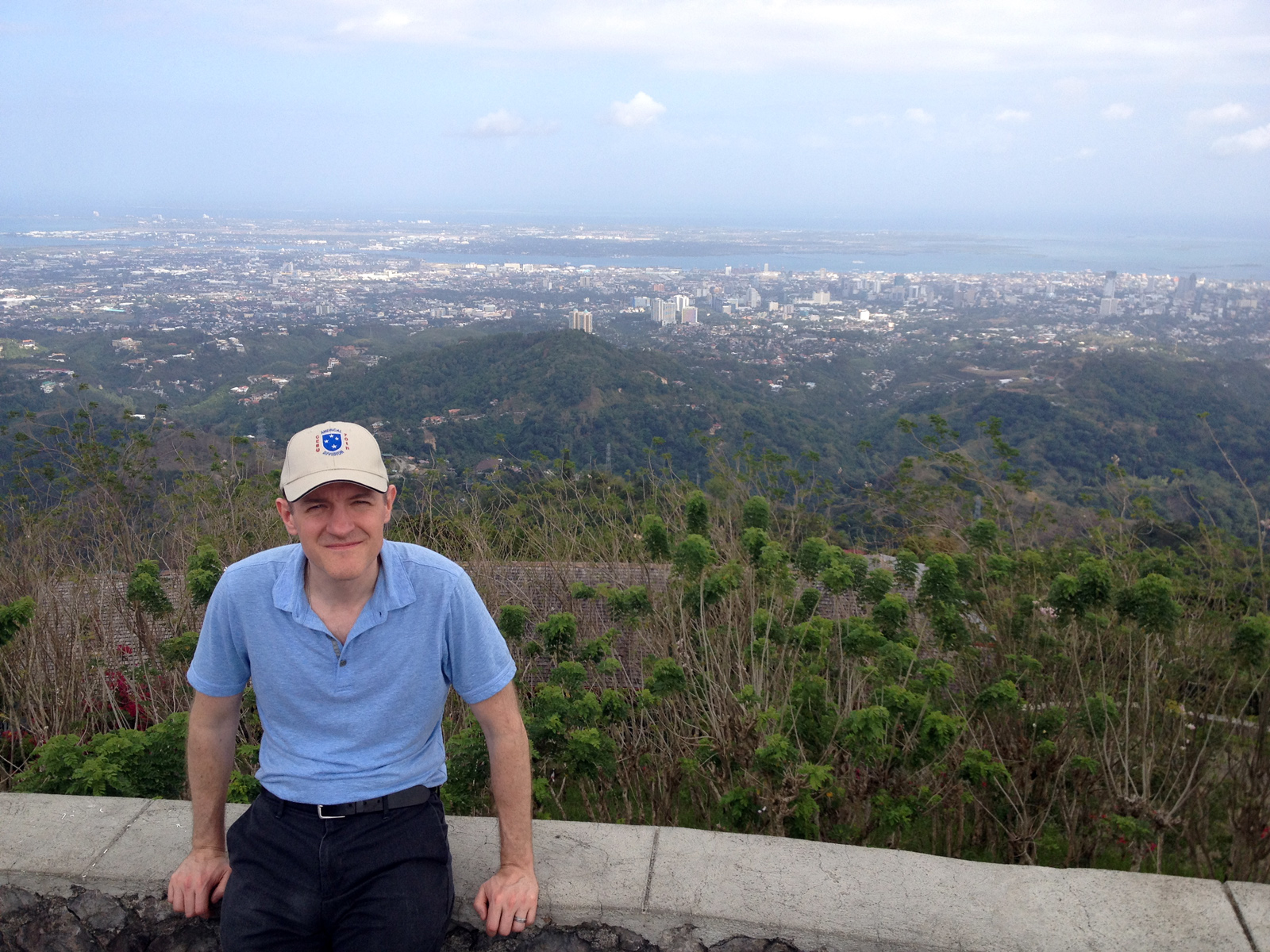
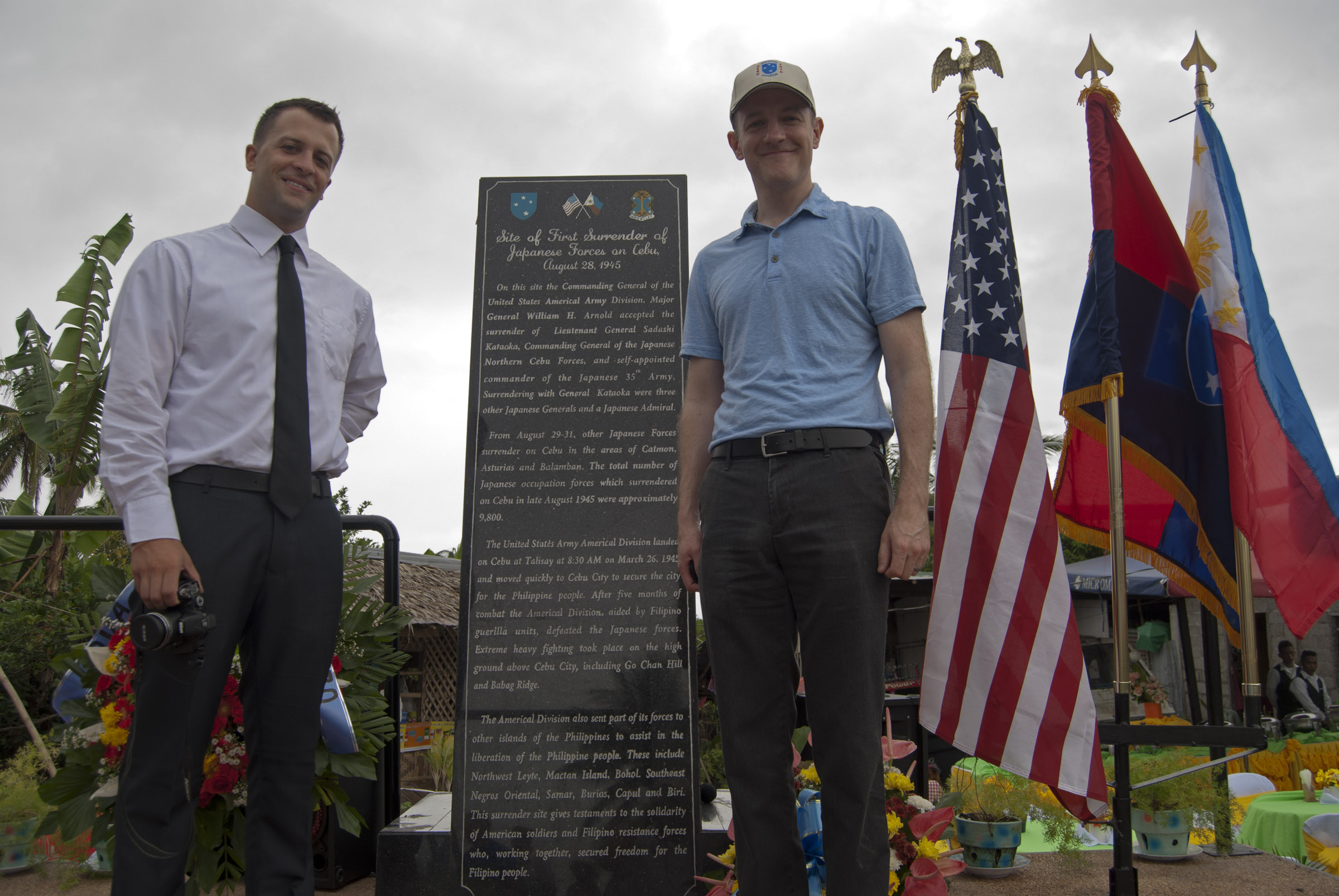
I’ve been watching a film of the August 1945 surrender of Japanese forces on the island of Cebu in the Philippines (you can watch it here). There is just a bit under 10 minutes of footage posted online. I noticed that there are a number of wide shots, showing the background. This got me thinking about where precisely the ceremony took place. In March 2015 I traveled to Cebu to visit key World War II battle sites, and follow the path of the Americal Division in liberating the island from Japanese occupation. Our trip ended in the far north of the island, near Ilihan, where a new monument was dedicated at the surrender site (read the story here). The land for the monument was generously donated by Mrs. Eusebia Ycot, who was present at the surrender ceremony 70 years earlier.

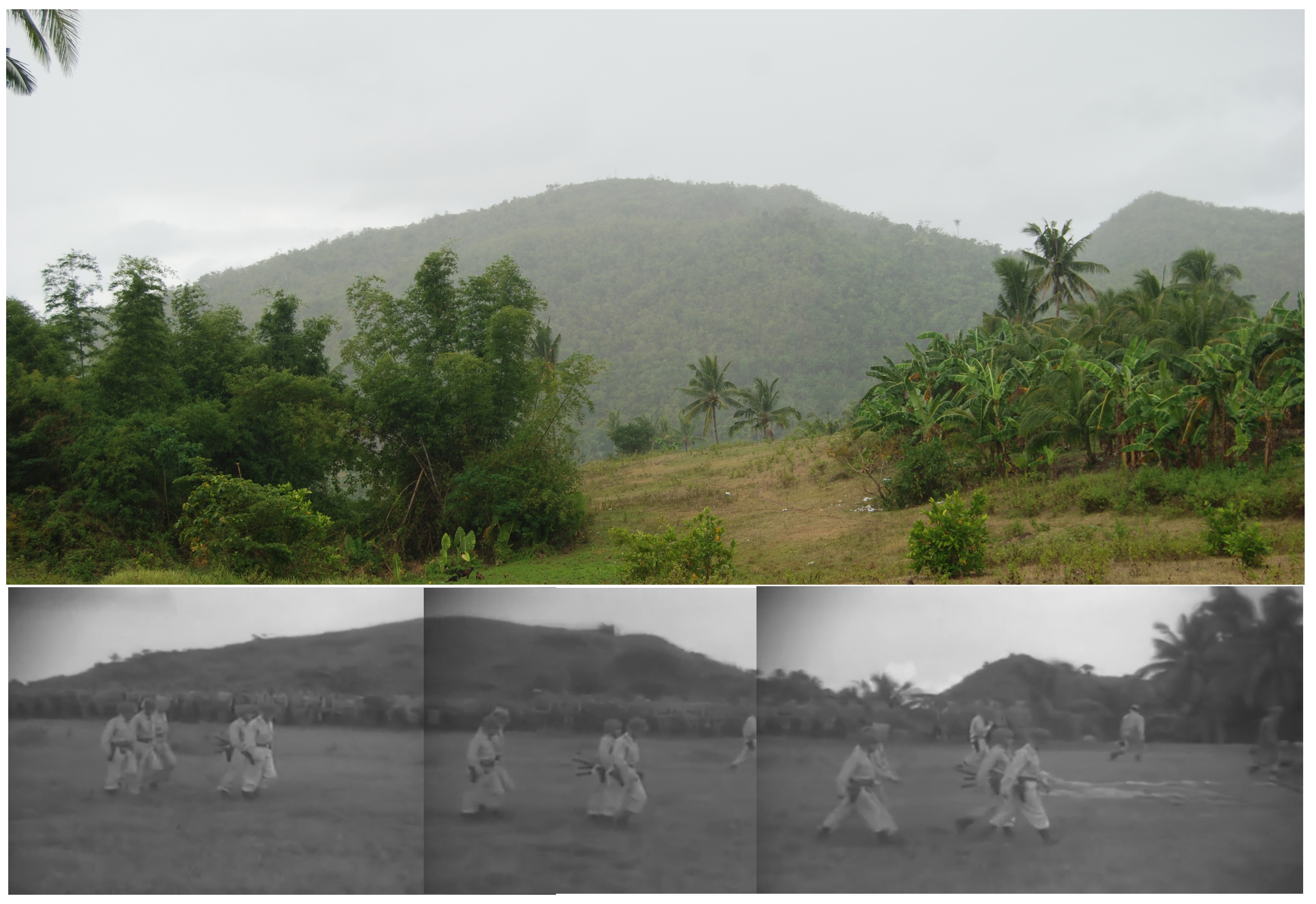
A comparison to the 1945 film footage shows that the terrain has changed a bit. The tree cover seems a bit denser in 2015 than in 1945, though this may just be a function of where I was standing. Many of the shots in the middle portion of the film show a wide open vista of rolling hills – a view I don’t recall seeing during our trip. One of the other struggles is that this is not a high resolution film transfer, so the footage is a bit blurry. It is difficult to pick out details.

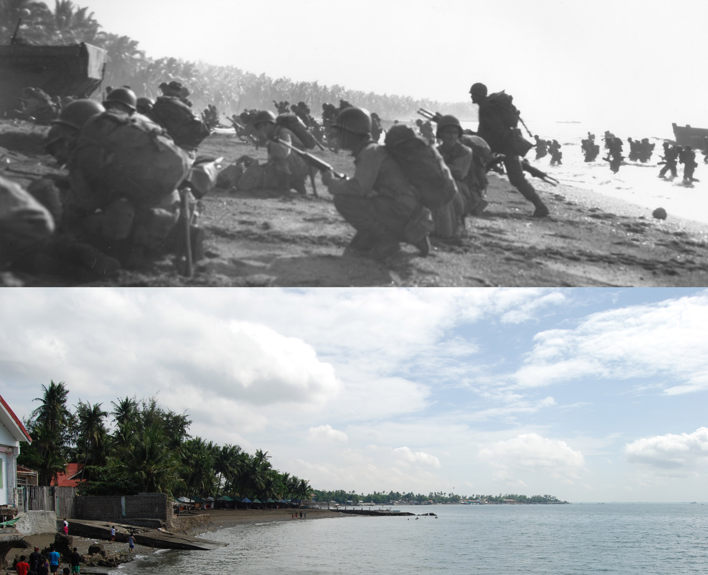
The camera pans repeatedly to follow Japanese and American soldiers moving in the field, giving a good view of the terrain. I studied the film, looking for anything that I could use to compare to photos that I took in 2015. I immediately focused on the footage beginning at 3:15, just following the formal surrender. In the background, two small hills can be seen. There appears to be some similarity to two small hills in a photo I took in 2015. It is not an exact match, as I believe that the perspective is a bit off. From what I can surmise, I believe that the 1945 film camera footage was taken from a vantage point slightly different than mine. I think if I were to have walked forward and to the left a few hundred yards, I may have been on the exact spot of the surrender.The hills in my photograph were to the north, and we were told that the Japanese troops marched down from these hills to the surrender site. Thus, the fact that Japanese troops are standing with their backs to the hills is another small clue. For a side-by-side comparison, I stitched three frames of the 1945 film footage together and lined it up next to my 2015 photo, which can be seen in Photo 1.

There are two other noticeable terrain features in the film footage. The footage at various times shows a tree lined road in the background, with a gully between the road and the foreground. I don’t recall a gully that deep, but it was a hectic day when we visited in March 2015. I found nothing else distinctive in the footage, in part due to the poor resolution of the transfer.

Based on where I was standing when I took that photo in relation to the new monument (the monument would be off to the right of the photo, maybe 100 yards away), I suspect that the surrender most likely took place a few hundred yards off the main road, perhaps almost directly behind the location of the monument. Unfortunately, unless I have a chance to travel to the Philippines again the future, I can’t be much more accurate than that.


Cebu 2015: The Ghosts of World War II, 70 Years Later

  • Tracked amphibious landing vehicles (LVT) make their way ashore. In the distance, Talisay Beach is masked in thick smoke. The larger craft at center is an LCI, the type of ship Company G landed in. Source: Naval History and Heritage Command, 80-G-259254.
  • Americal Division Veterans Association tour group at Museo Sugbo, Cebu City, 2015. Source: Americal Division Veterans Association.
  • Filipino military forces re-enact the Americal Division landing at Talisay Beach on the 70th anniversary of the battle. Source: Dave Colamaria.
  • Comparison of the landing at Talisay Beach in Cebu, with 1945 at top, and 2015 at bottom. Source: top photo Naval History and Heritage Command SC 264198, bottom photo Dave Colamaria.
  • Dave Colamaria at an overlook on top of Babag Ridge, looking down on the sprawl of Cebu City below. Source: Dave Colamaria.
  • Sam Arnold (left) and Dave Colamaria pose with the newly dedicated monument at the site of the Japanese surrender on Cebu. Source: Dave Colamaria.

In March 2015, I had the amazing opportunity to visit Cebu, an island in the Philippines. Along with a group of men from the Americal Division Veterans Association (all veterans of the war in Vietnam), I spent a week on the island touring sites with ties to World War II. This included several locations where the 182nd Infantry engaged in combat. It was a very emotional experience for me, retracing the footsteps of my grandfather, Ed Monahan. He served as First Sergeant for Company G of the 182nd on Cebu, from their amphibious landing in March 1945, until he was rotated home on points in May 1945, with the heaviest fighting completed.

Over the next few weeks, I plan to post a short series of stories on the Cebu trip. I am going to post them in an order approximating the sequence of events that the fighting on Cebu occurred, rather than how our trip was scheduled. The first piece will look at the extravagant ceremonies hosted by the people of the Philippines to commemorate the 70th anniversary of the Americal Division’s landing at Talisay Beach, on 26 March 1945 (read Part I here). Next I’ll look at some of the sites in the urban center of Cebu City, which was seized shortly after the successful landing at Talisay (read Part II here). We’ll move from there into the imposing hills of Babag Ridge, scene of the bloodiest fighting of the campaign (read Part III here).  A visit to the west coast of Cebu affords the chance to tour some World War II pillboxes and tank barriers (read Part IV here). And lastly, we’ll finish up with a piece on the dedication of a new monument at the spot where thousands of Japanese troops surrendered to the Americal at the end of the war (read Part V here).

The main purpose of our visit was to attend this new monument dedication. My grandfather was not present when the Japanese on Cebu surrendered to the Americal Division at the end of the war. So in a way, I saw this trip as a way for me to bring some symbolic closure to the war for him. On that last day in Cebu at the monument dedication, I did find that closure, in a deeply satisfying and emotional moment I’ll describe in my story on the ceremony.

After completing the Cebu portion of the trip, I had a brief stopover in Manila, where I visited the graves of men from Company G who were killed during the war. You can read that story here. To learn more about the battle for Cebu, read the story here. Please check back throughout the month as a I post the details of the 2015 trip. The journey begins with the reenactment of the Talisay Beach Landing.